
Oklahoma is under a severe weather alert on Monday morning, with multiple tornado warnings issued across various counties, including Carter, Garvin, Jefferson, Murray, and Stephens. As these storms push through the state, residents are advised to stay informed and take necessary precautions.
Live Coverage: Tracking Severe Storms Across Oklahoma
Tune in to live updates from David Payne and the News 9 Weather Team as they monitor and track severe storm activity across Oklahoma. These storms come on the heels of a turbulent weekend, where Sunday saw multiple tornadoes and significant damage to homes and properties statewide.
School Districts Respond to Severe Weather Threats
Several Oklahoma school districts have either canceled in-person classes or transitioned to virtual learning due to the forecasted storm conditions, prioritizing the safety of students and staff.
Active Warnings and Watches for Oklahoma Counties
Currently, multiple weather warnings are in effect for areas across Oklahoma:
- Tornado Warnings
- Cleveland and Pottawatomie counties are under a tornado warning until 11:00 a.m.
- Carter, Garvin, Jefferson, Murray, and Stephens counties are under a tornado warning until 11:45 a.m.
- Tornado Watch
- A tornado watch has been issued for Carter, Garvin, Hughes, Lincoln, Love, Murray, Okfuskee, Pontotoc, Pottawatomie, and Seminole counties until 6:00 p.m.
- Severe Thunderstorm Warnings
- Severe thunderstorm warnings are active for Lincoln, Pottawatomie, and Seminole counties until 12:00 p.m., and for Okfuskee County until the same time.
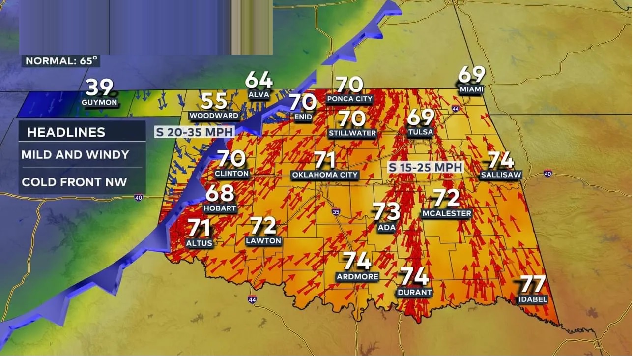
Current Weather in Oklahoma: Monday’s Storm Activity
Overnight, a large storm system brought heavy rains and thunderstorms to Oklahoma, with parts of the state seeing severe conditions, including localized flooding. Some storms have shown signs of rotation, indicating a risk of short-lived tornadoes. Wind gusts are expected to reach 60-65 mph, and there is a potential for quarter-sized hail, particularly in central and southeastern counties.
Severe Weather Timeline and Expected Risks
Morning: Storms Impacting Oklahoma City Area
Heavy rain and thunderstorms began impacting Oklahoma City early Monday, with lightning illuminating the sky. This initial wave of storms is anticipated to peak around 6:00 a.m. as it moves through downtown.
Midday: Increased Tornado Potential
A second round of severe weather is expected to arrive around 11:00 a.m., bringing a heightened risk for tornadoes. As these storms advance eastward, they are likely to continue through the early afternoon, moving out of the region by 1:00 to 3:00 p.m. Although drought conditions have dominated recent headlines, flooding has become a concern in areas where rain totals are highest.
Stay Updated with the News 9 Weather Team
Oklahoma residents are encouraged to follow updates from the experienced meteorologists at News 9, including:
- David Payne
- Lacey Swope
- Jed Castles
- Cassie Heiter
- Justin Rudicel
- Andrew Adams
Keep checking in for live coverage and updates as the severe weather unfolds across Oklahoma. Your safety is the top priority—stay indoors, stay informed, and take all necessary precautions to protect yourself and your loved ones.